Contour camera
NOTE: This post is (partially) obsolete as I prefer `visual correlation' method now (see my newer post.)
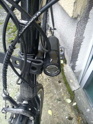
Some time ago I bought a Contour HD camera on Ebay and the seller claimed he was selling it as he want to upgrade to GPS enabled model. That inspired me to investigate how I can do the same with the camera lacking build-in GPS receiver. For example to geotag photos one can use GPS enabled still cameras, but usually it is a costly luxury and it suffice to synchronize GPS log with a photo timestamp. Using this approach I have developed a simple bash scripts which works neatly with all my cameras. So I can geotag my photographs without wasting a lot of time.
In case of video images the approach is similar: one has to synchronize video and GPS data. The best approach is to film the display of the GPS unit showing the GPS time. In case when the camera is unable to get a good quality image (because the digits are too small for example as in case of my Garmin Legend) a simple trick can be used: just one has to write down time on a sheet of paper (using 15-30 seconds time-ahead) and in a appropriate moment film it. Or one can says out loudly the time displayed if the microphone is able to record it. Looks silly and old fashioned but works. Instead of the above two methods one have to establish initial video geolocation with `visual correlation' method (described in the next paragraph).
The camera Pause button should not be used as it breaks out the GPS-camera synchronization. Namely after every pause one has to establish correct initial geolocation which can be difficult but not impossible (`visual correlation' can be used ie. inspecting video for distinguishable objects which geo-position can be established). I think the advantage of GPS-equipped camcorder boils down to that aspect (one can use Pause w/o worrying that his/her video will be out of sync.) but I suspect to take this extra advantage some extra software is needed which almost for sure runs on MS Windows. For a Linux users it can be usless or at least troublesome.
The only method I tried to augment video files with GPS data is to convert them to video subtitles. Since version 1.4 of GPSBabel is able to create a subtitle file from a GPS tracklog. The subtitle contains latitude/longitude/altitude as well as the time and current speed.
To convert GPX file to subtitles one have to execute:
gpsbabel -i gpx -f FILE.gpx -o subrip,video_time=hhmmss,gps_time=hhmmss,gps_date=YYYYMMDD -F FILE.srt
Where: video_time -- video position (relative to beginning of video) for which exact corresponding GPS timestamp is known. gps_time -- the time part of the GPS timestamp which corresponds to a known position in the video. gps_date -- the date part of the GPS timestamp which corresponds to a known position in the video.
Let's assume that the recorded image of GPS display appears in 15 second of the captured image. One has to look for (inside GPX file) the timestamp containing the exact time displayed (element <time> inside element <trkpt>). Let's assume this timestamp is <time>2013-02-07T09:58:29Z</time>. To convert GPX to subtitles one has to run:
gpsbabel -i gpx -f FILE.gpx -o subrip,video_time=000015,gps_time=095829,gps_date=20130207 -F FILE.srt
Just to remind: internally all GPS units record time/date using Coordinated Universal Time aka Greenwich Mean Time vel Zulu time (for army enthusiasts). What the unit displays is another matter (usually it displays local time).
My first geotagged video obtained using method described above can be seen here.
Wartościowy wpis
OdpowiedzUsuń